


Saturday 9 September 2023
| Distance (km) | 14 kms | |||
| Distance (time) | 7 hrs | |||
| Climb / Descent | 1020m / 670m | |||
| Hard / Soft surface | 30% / 70% | |||
| Landscape |
|
|||
| Weather |
|
|||
|
|
||||
|
Getting out of bed in the morning is the hardest thing, especially if it's under 10 degrees.
So we have a slow start and actually don't leave the camping site until 9, an hour later than we intended to.
After informing the camping guard that we wouldn't be around the next 2 nights, we first headed for the bakery in the village
to get lunch for later. And then we're really on the way.
Since we now have to walk 3 days before being back it our car, we walk with the big backpacks carrying clothes and sleeping bags
to stay overnight in two huts. And that means more weight we're not used to.
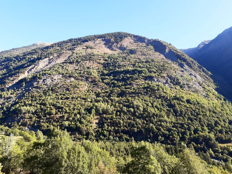
It starts all pretty smooth getting out of St.Etienne along a quiet tarmac road that is actually the old access road to the village.
Then we leave the road to climb to the new access road to St.Etienne, which is also the road to the skistation Auron. It's climbing, but not too bad.
Were we cross the main road I there is a little stone house with a big window. If you look inside you will see a camera on a tripod facing to the other side of the valley.
You may wonder why, but if you look to the other side of the value in front of the cabin you'll see a massive rock slide. This is La Clapière, one of Europes largest rocks slides
in volume and also one of the fastest. It started in the 1980's and measures 50 million cubic meteres of rock that initially slid down 1.5 meters per year, but now
slides only 10-20 cm per year. You may think "whatever" and I understand, but for us as civil engineers this is interesting.
But to return to walking, we cross the main road and follow it a bit until after the roundabout. Then we have to go up to the right and my goodness,
the path climbs ridiculously steep through the forest until we reach a small Maria statue. After that the path is just very steep
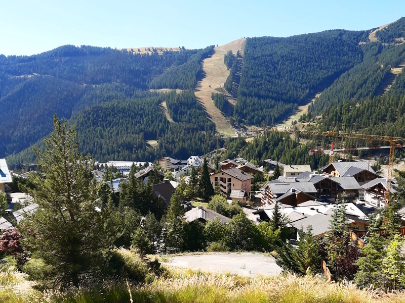
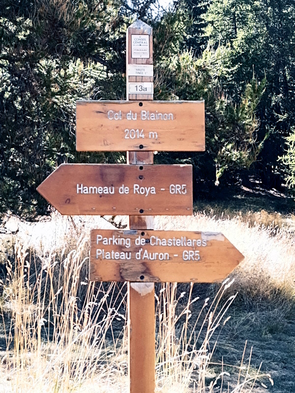
climbing in endless hairpins p the slope until we finally arrive just above the ski station Auron.
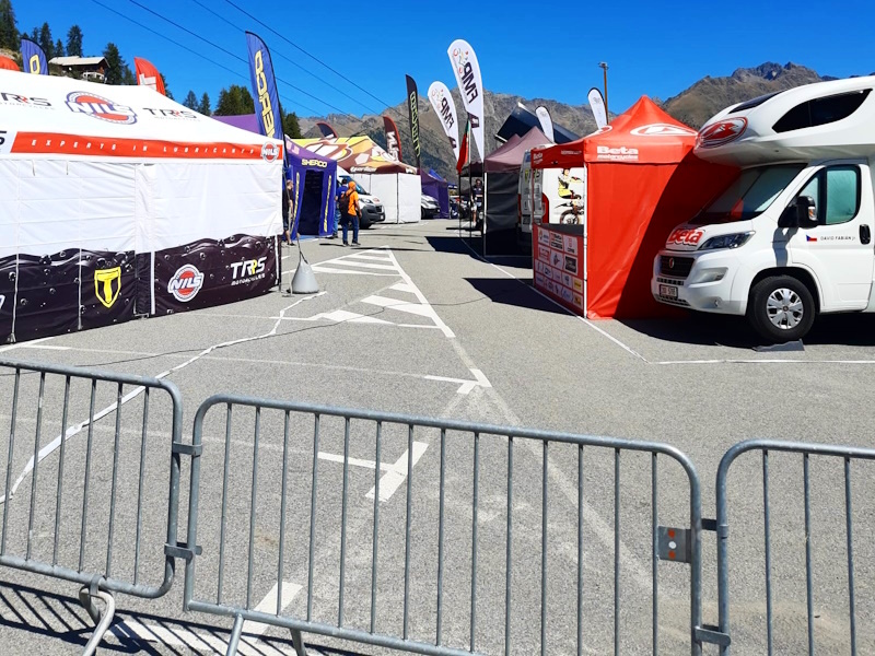
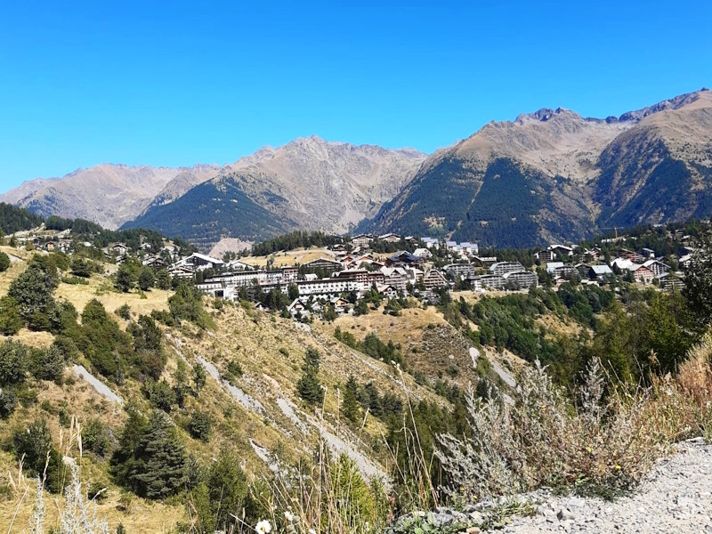
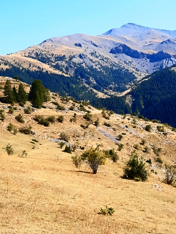
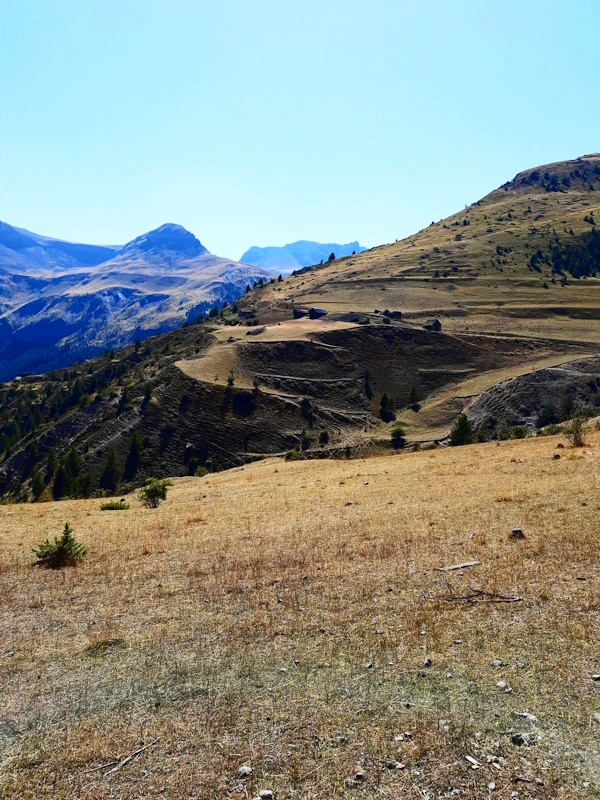
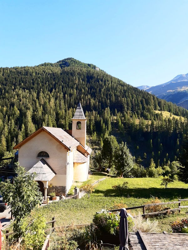
The legs get some rest now as we slowly descend through Auron where in the centre we decide to stop for lunch. Our continuation is a bit difficult as there is some kind of international motor cross event going on and we have to share the path with cross motors going up 50 km/hour leaving us in a cloud of dust. And some of them want to go the opposite direction using the small strip that has been reserved for walkers, so we frequently have to jump aside. At the parking next to the skilift is where they have installed everything and we work our way through motors and people cleaning and repairing motors. But then we leave the mess behind us and we're back in quiet nature. Well, apart from the ugly skilift of course. The climb to Col du Blainon is less steep but very warm and not so interesting. It's funny that at the top we're at 2000m altitude and still in the forest whereas in the Savoie further north at that altitude we would have been above the trees in grassy meadows. It is those little things that make you realise we are really getting further south. So we have a short break and then start the final descent. A very nice descent with beautiful views and not so steep. It takes us just over 1.5 hours to reach the hamlet Roya were we will stay overnight. The owners are bit grumpy, but we we later hear from other walkers that this is probably their last year having the gite so they're under a lot of stress. They even heard them seriously argue. It would be too bad if the Gite in Roya would close and cause some logistic problems for GR5 walkers. |
        |
|||
|
|
||||
Download track StERoy.gpx